
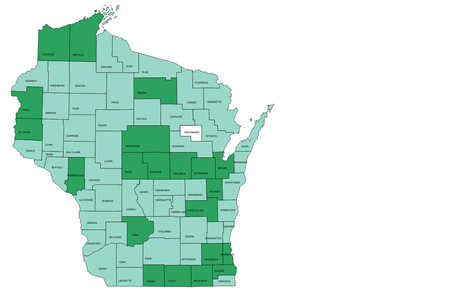
Nearly all county governments in Wisconsin have developed publicly accessible, interactive web mapping sites. This web site provides a quick means to access them by clicking on the county in the image map. Links to county web mapping sites, local government GIS data downloads/web mapping services, and municipal/town government web mapping sites are provided in the tables below the map and will open in a separate browser window.
Interactive web mapping sites in Wisconsin can also be discovered and accessed through other sources. The Wisconsin Land Information Program maintains an interactive pdf file with links to county websites, web mapping applications, GIS data download, Lidar download, real property lister websites, register of deeds websites and land information officer names and contact information. GeoData@Wisconsin hosted by the Wisconsin State Cartographers Office and the Robinson Map Library at UW-Madison enables discovery and access of Wisconsin geospatial data, imagery, and scanned maps.
Last modified by David Hart on March 22, 2024
Email: dahart *AT* wisc.edu
URL http://maps.aqua.wisc.edu/wisconsin-ims.htm